Travelling to Lesotho: itineraries, hikes and seasons

No part of Lesotho lies below 1,000 metres. This kingdom of mountains is best discovered at the pace of a Basotho pony, along dirt passes close to 3,000 metres, between grassy plateaus, giant waterfalls, San rock paintings and villages of round thatched huts.

Why travel to Lesotho?

Lesotho is a country enclosed by South Africa, with its entire territory at altitude and the highest point in southern Africa, Thabana Ntlenyana, at 3,482 metres. People come for hiking, horseback crossings and mountain landscapes that remain largely undeveloped.

What to discover in Lesotho?

Maseru and the western lowlands

The capital, set on the Caledon River facing the South African border, is about two hours by road from Bloemfontein. Few visitors stay more than a night, but it is a base for two key sites under an hour away: the Thaba-Bosiu plateau, cradle of the Basotho nation founded by King Moshoeshoe I in the 1820s, and the mission village of Morija with its museum and archives. Shop and withdraw cash in Maseru: ATMs become scarce as soon as you climb into the highlands.
Semonkong and the central plateau

About three hours' drive south-east of Maseru, Semonkong means place of smoke, after the spray of the nearby falls, which drop close to 200 metres. The village is a base for hikes and pony rides from half a day to several days, with nights in local villages. Allow at least two nights to make the journey worthwhile. In the southern winter, from June to August, nights drop well below freezing and snow can cut the road for a few days.

Malealea and the south-west

Malealea, about two hours from Maseru, is the place for horseback treks led by local guides. Routes of one to six days link villages, gorges and rock shelters decorated with San paintings. Further south, Quthing has dinosaur footprints visible by the roadside. The south-west combines well with Semonkong via a mountain track: check its condition before setting off, especially after the summer storms that are common from November to March.

The north-eastern highlands

The north-east holds the highest peaks in southern Africa and the most spectacular roads. Sani Pass, climbing from KwaZulu-Natal to nearly 2,900 metres, is the best-known access, with a 4x4 required on its upper section. Mokhotlong is the base for approaching Thabana Ntlenyana, a day's climb with a guide. Further west, the Afriski resort offers skiing from June to August thanks to snowmaking, a curiosity at this latitude.

Katse and the great dams

In the centre of the country, the 185-metre Katse arch dam holds back a mountain lake at the heart of the Highlands Water Project, which sends water to the Johannesburg region. The road from Maseru crosses several passes above 3,000 metres over roughly four hours. Guided tours of the dam start from the visitor centre. Mohale Dam, on the same route, fits into a two or three-day loop with a night at Katse.

Sehlabathebe and the wild south-east

Sehlabathebe National Park, the most remote in the country, forms a cross-border UNESCO World Heritage site with South Africa's Drakensberg. Visitors come for the sandstone formations, natural rock pools and shelters painted by the San. Access from Lesotho takes a long day on dirt tracks, while from South Africa it is on foot along a mountain trail. Plan three nights to hike and bring all your own food. The neighbouring small kingdom of Eswatini rounds off this southern African circuit well.

Cities to visit in Lesotho

Featured destinations appear first.
Coming soon.

Not to miss in Lesotho

Eight places that show the scale of this high-altitude kingdom.

Maletsunyane Falls

A single drop of close to 200 metres into a deep gorge, an hour's walk or pony ride from Semonkong.

Sani Pass

A road of tight hairpins linking KwaZulu-Natal to the highlands, topped by a well-known lodge and high-altitude bar.

Thaba-Bosiu plateau

The mountain fortress of King Moshoeshoe I, where the first Basotho kings are buried, about thirty minutes from Maseru.

Katse Dam

A tall concrete arch in a mountain setting, at the heart of one of the continent's largest water projects.

Sehlabathebe Park

A remote UNESCO-listed sandstone plateau with natural rock pools and shelters decorated with San rock art.

Thabana Ntlenyana

Southern Africa's highest point at 3,482 metres, reachable in a day's hike with a local guide.

Morija Museum

A small museum at the country's oldest mission, covering the history, ethnography and fossils of Lesotho.

Malealea pony treks

Horseback trips of one to six days with Basotho guides, with homestays in mountain villages along the way.

Frequently asked questions

Can you drive up Sani Pass in a regular rental car?
No, a 4x4 is required for the upper section and border officials may turn other vehicles back. 4x4 day trips leave from Underberg and Himeville on the South African side, either for the day or with a night at the lodge on top.
Where should you stay to see Maletsunyane Falls?
In Semonkong, the nearest village, about an hour's walk or pony ride from the viewpoint. One night is a bit short given the drive from Maseru, while two let you hike down to the foot of the falls.
Do you need riding experience for a pony trek in Lesotho?
No, Basotho ponies are calm and used to steep paths, and guides adapt the pace for beginners. A short first day helps you get used to it before setting off on a multi-day trek with nights in villages.
Can you really ski in Lesotho?
Yes, the Afriski resort in the Maloti Mountains usually opens from June to August with a few runs kept up by snowmaking. Natural snow cover is unreliable, which makes it more of a curiosity than a true ski destination.
How do you get to Lesotho from Johannesburg?
By road via Bloemfontein and Maseru Bridge, allow about five and a half hours. A few flights also link Johannesburg and Maseru. For the north-eastern highlands, coming up Sani Pass from KwaZulu-Natal is often more direct.
What is the best season for hiking in the Maloti Mountains?
Southern spring and autumn, September to November and March to May, bring dry, mild days without the summer storms or the harsh winter cold. Nights remain cool at altitude even outside winter.
Is Lesotho safe for independent travel?
Rural areas are generally calm and welcoming, but crime does exist in Maseru: avoid walking alone at night and leave nothing visible in the car. In the mountains, the main hazards are the weather and road conditions.
What does the conical hat on Lesotho's flag mean?
It is the mokorotlo, a traditional woven straw hat whose shape is said to echo Mount Qiloane near Thaba-Bosiu. It has appeared at the centre of the flag since 2006 and is sold in craft markets across the country.
How many days should you spend in Lesotho?
A week allows a loop of Maseru, Semonkong, Malealea and back. Ten days add Katse Dam or the crossing to the north-east and Sani Pass. Mountain roads are slow, so plan fewer stops than a map might suggest.

Plan your trip to Lesotho

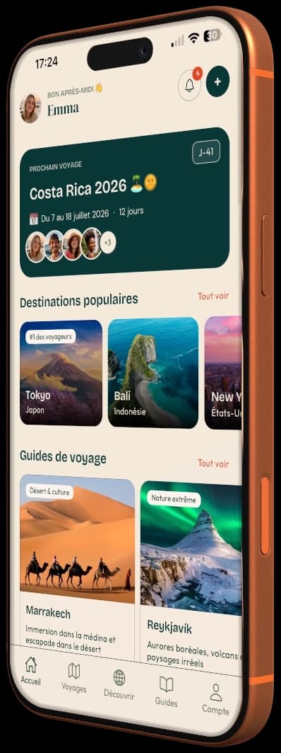
Day-by-day itinerary, budget, bookings and packing in a single app.
Aperçu de l'application PlanTripNow