California road trip: when to go, what to see and how to plan it

California holds in one trip San Francisco and its cable cars, Highway 1 along the Big Sur cliffs, Los Angeles and Hollywood, the Yosemite waterfalls, the giant sequoias of the Sierra and Death Valley, the lowest and hottest point on the continent.

Why do a California road trip?

California combines two very different big cities, a 1,300-kilometre coastline with the most famous coastal road in the United States, eight national parks including Yosemite and Death Valley, the largest and tallest trees in the world, and a leading wine region. The climate varies sharply: cool fog in San Francisco in summer, over 50 °C in the deserts, snow in the Sierra Nevada in winter.

What to see in California

San Francisco and the Bay

San Francisco is walked and ridden by cable car, between the Golden Gate, Fisherman's Wharf, the Mission and its murals, and the former Alcatraz prison on its island, whose tickets sell out weeks ahead. The city is cool and often foggy in summer, so bring a jacket even in July. Around it, Muir Woods and its coastal redwoods, Berkeley and its student life, and Silicon Valley to the south. Allow two to three days before hitting the road.
Highway 1 and Big Sur

Route 1 links San Francisco to Los Angeles along the ocean. Drive it north to south to be on the sea side. After Monterey and its aquarium, Big Sur strings together Bixby Bridge, McWay Falls and the Piedras Blancas elephant seal colonies, then Hearst Castle at San Simeon. Lodging in Big Sur is scarce and expensive, to be booked far ahead. Sections close regularly after a landslide: check the road status before setting off.

Los Angeles and the south

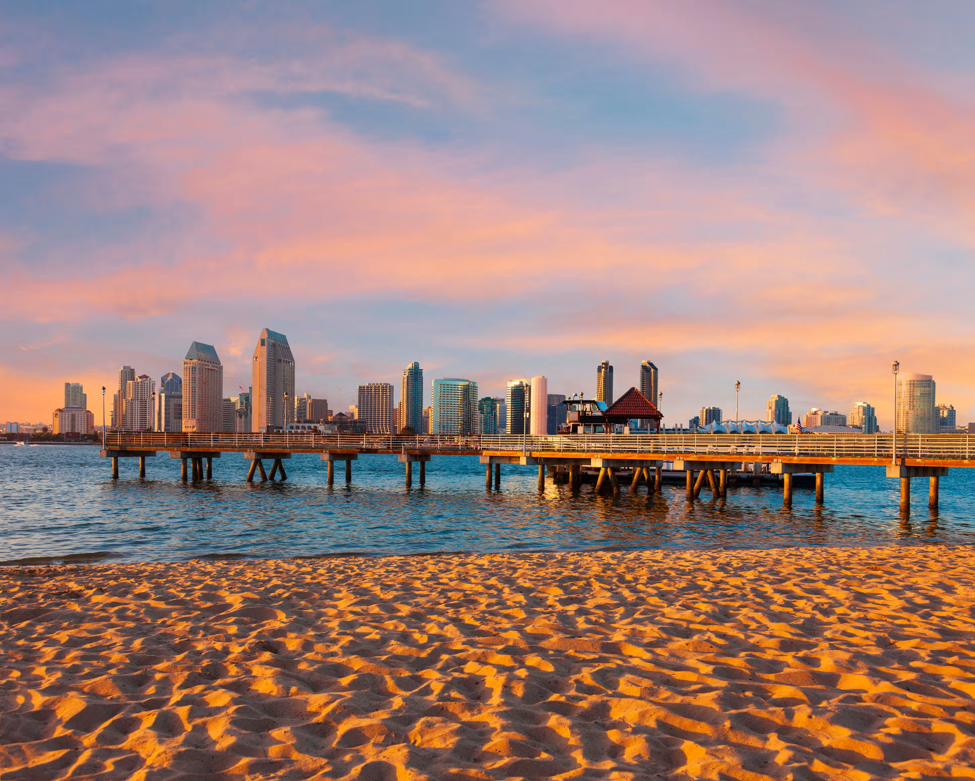
Los Angeles spreads over dozens of kilometres: the Griffith Observatory for the Hollywood sign view, the Getty Center, Venice and Santa Monica by the sea, downtown and its markets. Further south, San Diego offers one of the world's biggest zoos, the Gaslamp Quarter and the La Jolla beaches. The region's major theme parks each need a full day. Two to three days are enough for a first look at the city.

Yosemite and the Sierra Nevada

Four hours from San Francisco, Yosemite lines up El Capitan, Half Dome and waterfalls at their fullest in May and June, then drying out by late summer. A timed entry reservation is sometimes required in high season. To the south, Sequoia and Kings Canyon hold the General Sherman, the largest tree in the world by volume. The Tioga road, which crosses the Sierra east to Mono Lake, only opens from late May or June. Many carry on to Arizona.

The deserts: Death Valley, Joshua Tree and Palm Springs

To the east and south, the deserts. Death Valley drops to 86 metres below sea level at Badwater and breaks world heat records: visit from November to March, never without water or a full tank. Joshua Tree, higher up, mixes granite boulders and Joshua trees, popular with climbers and stargazers. Palm Springs, between the two, cultivates 1950s architecture and palm oases in the nearby canyons.

Wine: Napa, Sonoma and the Central Coast

North of San Francisco, Napa concentrates the best-known estates, where tasting is by appointment and paid, often 30 to 75 dollars. Neighbouring Sonoma is more relaxed and cheaper. Further south, Paso Robles is rising on the Central Coast. The harvest, in September and October, is the finest time. Plan a designated driver, a private chauffeur or the Napa wine train.

The north: redwoods, Lake Tahoe and the Mendocino coast

The less-visited north of the state keeps the tallest coast redwood forests in the world along the Avenue of the Giants, the village of Mendocino perched on its cliffs, and the Lassen volcano. On the Nevada border, deep-blue Lake Tahoe at 1,900 metres splits between ski resorts in winter and swimming, kayaking and hiking in summer. Allow at least two days for this region in its own right.

Cities to visit in California

Featured destinations appear first.
Coming soon.

California in pictures

Must-see sights in California

Bridges, cliffs, giant forests, deserts and cities of California.

The Golden Gate Bridge

San Francisco's orange-red bridge, nearly 3 kilometres long, often half-lost in the fog, best seen from the Marin headlands.

Alcatraz

The former federal prison on an island in the bay, visited with an audio guide narrated by former inmates and guards.

Yosemite Valley

A granite amphitheatre dominated by El Capitan and Half Dome, with dramatic waterfalls in spring and meadows on the floor.

Big Sur and Highway 1

The most spectacular stretch of the coastal road, between cliffs, arched bridges and redwood forests plunging to the ocean.

The General Sherman

In Sequoia park, the largest tree on the planet by volume, an 84-metre giant sequoia over 2,000 years old.

Badwater Basin

The lowest point in North America, 86 metres below sea level, a cracked salt crust on the floor of Death Valley.

Joshua Tree

A park of rounded granite boulders and Joshua trees on the edge of two deserts, known for climbing and the night sky.

Hearst Castle

The press magnate's oversized mansion at San Simeon, on a hill above the coast, visited by reservation.

Lake Tahoe

An intensely blue lake at 1,900 metres straddling California and Nevada, a ski resort in winter and a water base in summer.

The northern coast redwoods

The tallest trees in the world, up to 115 metres, along the Avenue of the Giants in Humboldt County.

Similar regions

Other regions you might like as much as California.

Similar destinations

Other countries you might like as much as California.

Frequently asked questions about California

Do you need an open-jaw flight for California?
It is strongly advised for a coastal road trip: fly into San Francisco and out of Los Angeles, or the other way around. The open-jaw ticket costs barely more than a return and saves 700 kilometres of backtracking.
Which way should you drive Highway 1?
North to south, from San Francisco toward Los Angeles: you then drive on the ocean-side lane, with no need to cross to stop at viewpoints, and the sun is behind you in the afternoon.
Do you need to book Yosemite entry in advance?
On some summer days and at peak times, yes: a paid timed slot is required to drive in, on top of the entry fee. The rules change each year, so check recreation.gov a few months ahead.
How many days from San Francisco to Los Angeles by the coast?
Three days minimum with a night in Big Sur and one in Santa Barbara, five to slow down and add Monterey, Cambria and Santa Cruz. In one day you only see the road, not the stops.
When is the Tioga road to eastern Yosemite open?
Usually from late May or June to late October, depending on snow. Outside that window, reaching Mono Lake and the eastern Sierra from Yosemite means a long detour to the south or the north.
Can you visit Death Valley in summer?
It is possible but risky: temperatures regularly top 50 °C, hiking is discouraged after 10 am and a breakdown can turn dangerous. The good season is November to March, sometimes with a carpet of flowers after a wet winter.
How do you do a Napa tasting without a car?
The Napa Valley Wine Train links several estates with a meal on board, shuttles and guided tours leave from the town of Napa, and some Yountville estates can be done by bike. Otherwise, a private chauffeur for the day is the most flexible option.
Is San Francisco really cold in summer?
Yes, it is the coolest city on the coast: sea fog often keeps highs around 18 °C in July and August, with wind. It is warmer in spring and above all in September and October, the real local high season.

Plan your trip to California

Day-by-day itinerary, budget, bookings and packing in a single app.
Aperçu de l'application PlanTripNow