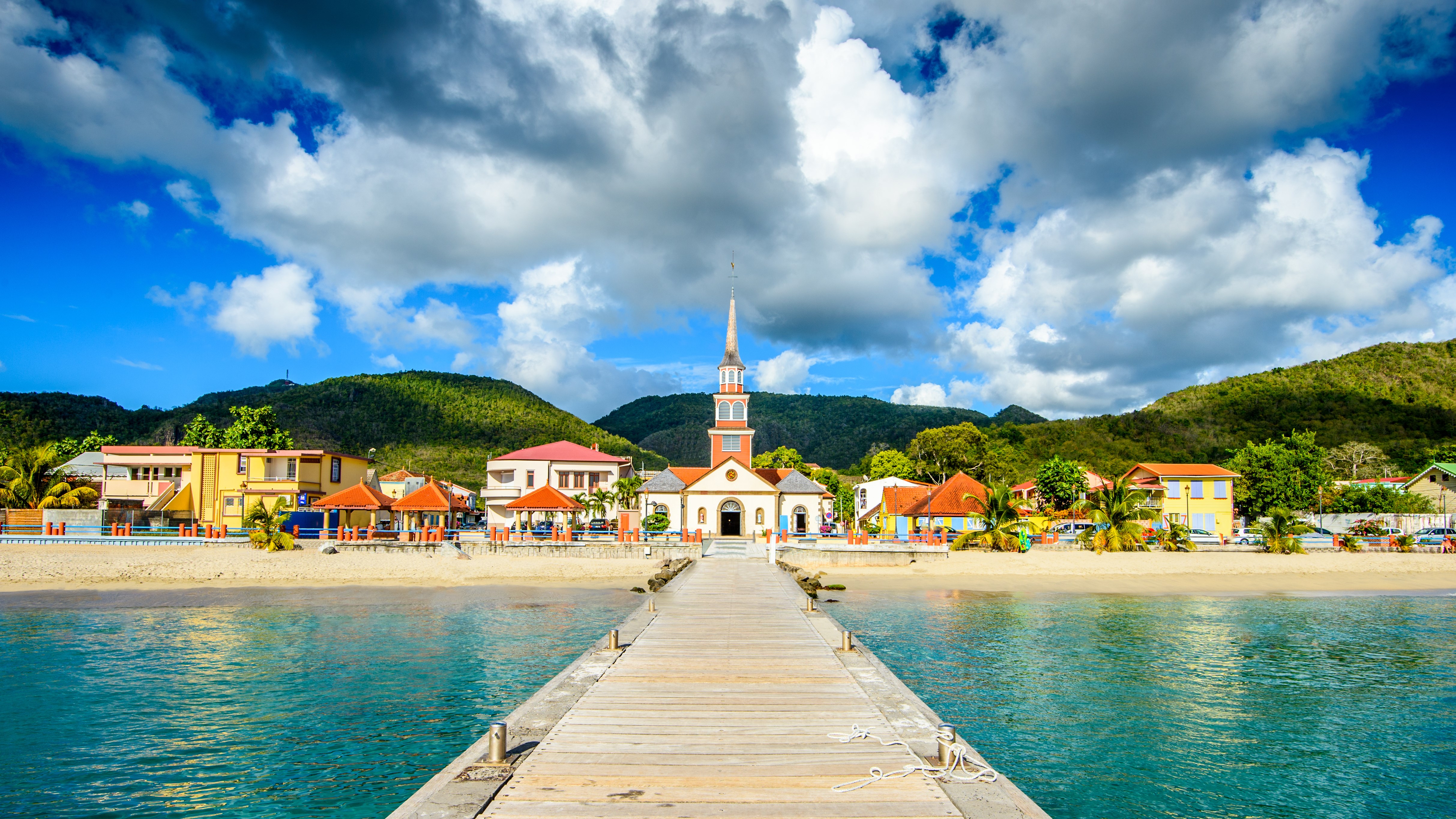
The capital, the largest city in the French Antilles, is discovered on foot: the covered market and its spices, Saint-Louis cathedral, the still-military Fort Saint-Louis, and the Schoelcher library, an iron pavilion built for the 1889 exhibition then re-erected on site. A sea shuttle crosses the bay in twenty minutes to Les Trois-Ilets, home to the sugar-cane museum, the pottery village and the Pagerie museum, birthplace of Empress Josephine. The centre is a logical starting point before heading south or north.
The south of the island holds the postcard beaches. The long Salines beach, lined with coconut palms, fills up fast: be there before ten for parking. The Marin peninsula and the Cul-de-Sac coves shelter anchorages and trails, the Petrified Savannah marks the arid, windy far south, and Diamond Rock, an uninhabited conical islet, rises off the village of the same name. This is the driest, sunniest and most touristy area.
On the windward side, the sea is rougher but the landscapes more varied. At Le Francois, white-sand flats, the fonds blancs, let you stand a kilometre from the shore, a tradition of sea-bathing with a ti-punch. The Clement estate there combines a contemporary art collection and a rum-ageing cellar. Further north, the Caravelle peninsula, a nature reserve, offers a three-hour trail between mangrove and cliffs, the ruins of Chateau Dubuc and a lighthouse, and Tartane holds the island's surf spots.
Saint-Pierre was the cultural capital of the Antilles before the eruption of Mount Pelee, on 8 May 1902, killed nearly 30,000 people in minutes. The ruins of the theatre, Cyparis's cell, one of the few survivors, and the old prison can be visited, and the Frank Perret museum tells the story. Mount Pelee, listed as World Heritage in 2023 with the northern pitons, is climbed by the Aileron trail, five to six hours round trip, starting early before the cloud sets in.
The north-east is the wildest and wettest part. Grand-Riviere, a village at the end of the road, is passed only on foot: the coastal trail reaches Anse Couleuvre, a black-sand beach hemmed by jungle, in about five hours. The Route de la Trace, laid out by the Jesuits in the 17th century, crosses the humid rainforest between Fort-de-France and Le Morne-Rouge, with its tree ferns, heliconias and frequent rain. This is the land of long hikes and primary forest.
Martinique suits walking year-round. The Balata garden, created by a botanist on three hectares, is partly walked on a rope bridge suspended in the canopy. The Falaise gorges, near Ajoupa-Bouillon, are done by guided canyoning. The Beauregard canal, or Slaves' canal, runs along a narrow aqueduct on a mountainside. And the Trace des Caps, on the southern coast, links the coves over about fifteen waymarked kilometres, between deserted beaches and dry forests.
Martinique produces the world's only rum protected by a controlled designation of origin, distilled directly from fresh cane juice rather than molasses. A dozen distilleries can be visited, often for free, along a rum road: Depaz, Neisson, Clement, JM, Saint-James and its train. On the table, the ti-punch, cod fritters, pork colombo, Creole black pudding and fish blaff; in culture, the bele, a drum dance and music listed by UNESCO, and Carnival, between Epiphany and Ash Wednesday.